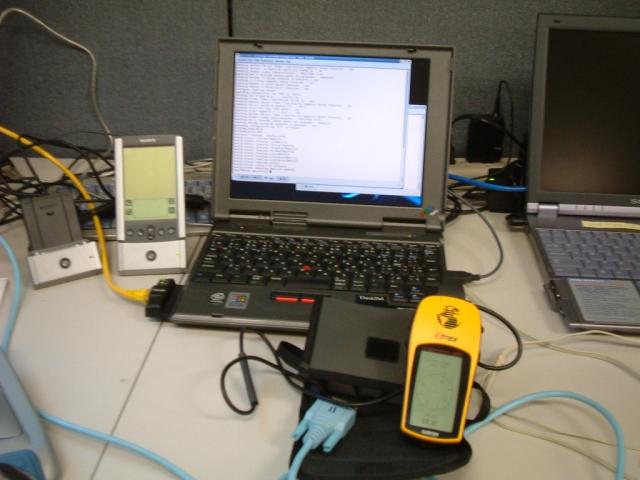
Waypoint
Advertisement
HoudahGPS v.3.1
HoudahGPS allows you to transfer track log and waypoint data from your Garmin, Magellan or Wintec GPS devices.
Advertisement
GPS Blender v.0.0.1
Java base GPS Waypoint manipulation.
Gpstoolbox v.05.12.23
The gpstoolbox project provides a portable Garmin GPS (Global Positioning System) interface library and associated utilities to support creating, transfering, and processing of route, track log, waypoint, and PVT data.
QLandkarte v.1.0
View and upload map files, track and waypoint data to your Garmin GPS receiver.
Marine Software Bundle Vista Edition
Draft Survey and Lashing calculations Marine Software Bundle is a user-friendly Draught Survey calculation program for Ships' Officers and Marine Surveyors. It is easily operated using either Keyboard or Mouse. Marine Software Bundle complies with the

MarineSoftware VE
Draft Survey and Lashing calculations Marine Software Bundle is a user-friendly Draught Survey calculation program for Ships' Officers and Marine Surveyors. It is easily operated using either Keyboard or Mouse. Marine Software Bundle complies with the

ZylGPSReceiver.NET
ZylGPSReceiver.NET is an event driven .NET component that communicates with a GPS receiver. It returns latitude, longitude, altitude, speed, heading and many other useful parameters of the current position and the parameters of the satellites in view.

ZylGPSReceiver Mobile
ZylGPSReceiver Mobile is an event driven Compact Framework.NET component that communicates with a GPS receiver. It is designed for mobile devices such as PDAs, which run on Windows Mobile (CE) operating systems. It returns latitude, longitude,

GPS Simulator v.1.0
GPS Simulator is software that generates a virtual GPS data, Used to develop and simulation of GPS applications, Save testing and development time, No location restriction or work everywhere, No GPS device needed
MPRouteWriter v.3.4
Imports and Exports MapPoint waypoints and pushpins in route-order. MapPoint always re-arranges pushpins when it does this. Exports routes directly to Excel or a text file; or you can create a route from pushpins in a pre-determined order.
XImage v.2 3
xImage is a free firmware upgrade for certain Garmin® units that allows you to retrieve and update images on your GPS.